Wednesday, July 31
Erica and Ed played golf again, this time at a course near our cabin. I stayed home and read my book on the deck.
We had seen signs for Billy the Kid museums around town. It turns out this area was Billy's stomping grounds. Our plan for the afternoon was to go to a museum, but I found a brochure for something called the "Billy the Kid National Scenic Byway", so we set off out of town in search of Billy.
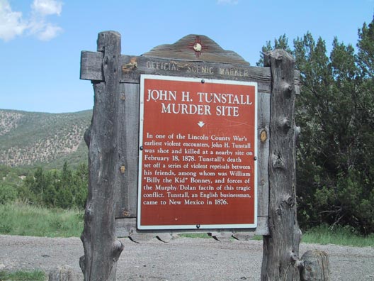
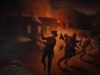
The first leg of the tour was back east on the road we rode in on, but this time we stopped at the historical markers and saw the site of the Tunstall murder that set off the Lincoln County Wars, which made Billy infamous. The whole thing was caused by a beef feud, with a newcomer setting up a store to compete with the crooked beef monopoly in Lincoln. It was the necomer, John Tunstall, who was ambushed while riding with Billy and others between Ruidoso and San Patricio.
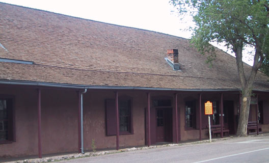
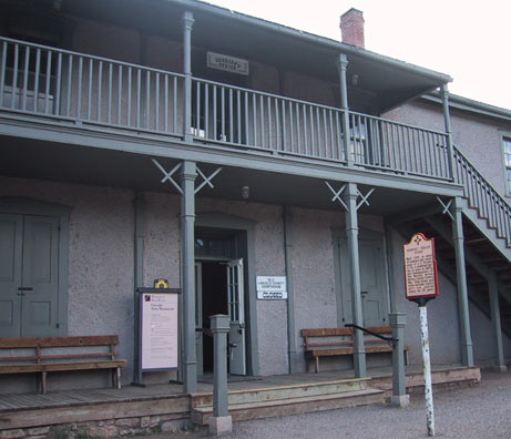
The second leg of the tour took us through Lincoln itself. This town can't look much different than it did in the 1870's when the feuds were taking place. Both the Tunstall store and the Murphy store still exist, as well as many of the buildings that stood then. In fact, I don't think any of the buildings look newer than those. There are no gas stations, neon signs, billboards, and all of the houses (all 10 of them!) are made out of handmade adobe bricks. We strolled along the street that runs through the town, once proclaimed "the most dangerous street in America" because of all the shootings in the days of Billy the Kid. Now you could lie down in the street, which is a "highway" for quite awhile before being endangered. Except for at 4:30 when everything appears to close causing a minor rush hour. We did go into the museum before it closed and learned a lot about Billy the Kid, the Lincoln County Wars, the Apaches and other Western history.
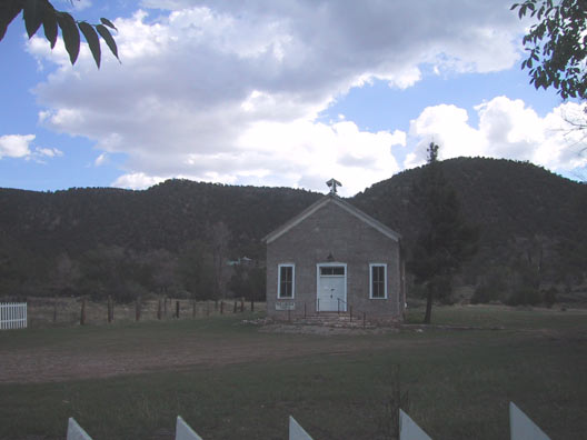
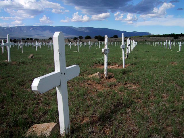
From Lincoln we continued west through land so green it looked like Ireland. We stopped at Ft. Stanton, which was a frontier fort built originally to protect against the Apaches. The Buffalo Soldiers were stationed here, as was Kit Carson. The fort is closed, but the Merchant Marine and Military cemetery up the road was a very picturesque stop.
Our next (and last) stop was Capitan, famous as the spot where Smokey the Bear was rescued as a cub after a major forest fire. We arrived to late to pay our respects to Smokey (who died in 1976 and is buried here), so we continued on to Ruidoso. This drive was very scenic, even without all of the history surrounding it.
For dinner we went to La Lorraine, and French restaurant that was very good and quite a surprise in such a small town.
Tuesday, July 30
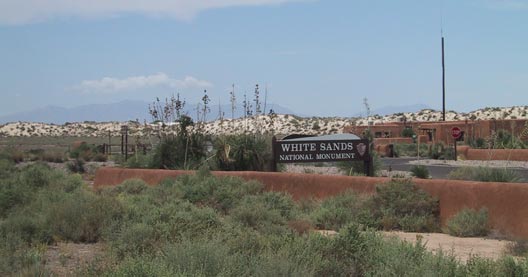
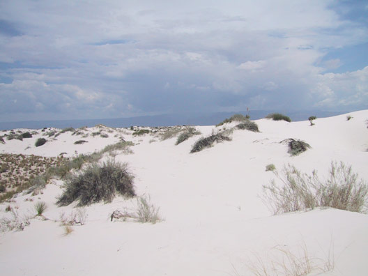
As our backup plan to the cancelled hike, we drove to White Sands National Monument, which is only about 40 minutes from Ruidoso. After crossing the mountains, we decended into the Tularosa Basin and could see the sands gleaming from quite far away. We passed Holloman Air Force Base (home of the Stealth bomber) and a large sign with a missile on it warning that the road and monument are closed when the sign's lights are flashing. This happens about twice a week, and means that missile testing is taking place at the White Sands Missile Range, which completely surrounds the national park. The site of the first atomic blast (the original Ground Zero) is just north of here, but is only open to the public two days each year, once in spring and once in fall.
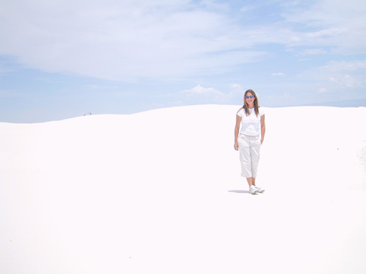
White Sands is one of the most beautiful places I've been. We'd been through plenty of desert on our way here, but nothing like this. This is brilliant, blinding white desert with huge dunes, unusual plants (only in the part where the dunes don't move as much) and animal life evolved to exist here. For example, there is a lizard called the Bleached Earless Lizard that blends in with the sand. We saw one of these and several other varieties of lizards, as well as plants that had adapted to the constantly shifting terrain. The sand is pure gypsum and very rare. Gypsum usually dissolves in water and is carried away. But the Tularosa Basin has no rivers draining from it, so the gypsum stays. The elements eventually crystallize it into sand.
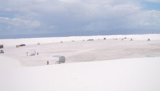
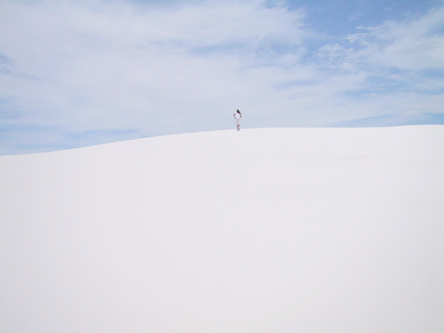
The park has a long drive with a few places to stop and look at the dunes, plants and animals. At the end of the drive is a surreal picnic area, with huge dunes without plants that the public can play in. We noticed families with snow saucers and beach umbrellas camped out for the day. The kids slid down the dunes while the parents relaxed. We realized that these are probably local families, and this is their "beach". When you think about it, little kids spend more time playing in the sand at the beach than in the ocean, anyway. We played in the sand for awhile, and gazed out across the dunes which stretched farther than we could see, until eventually our eyes got fatigued despite our sunglasses, and we headed out. I loved this place, and would love to come back at sunset when the non-reptile animals come out and the sand turns orange and red.
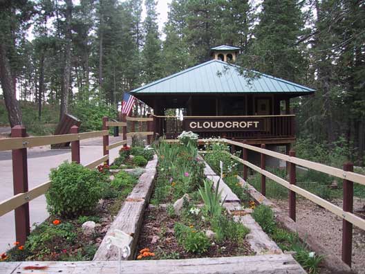
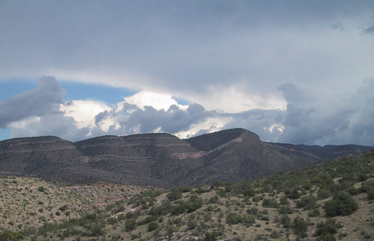
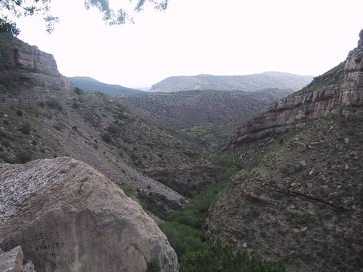
Leaving White Sands we headed to Cloudcroft, NM, which is a former railroad town at 9,200 feet. It is within the National Forest, but the railroad was built in the late 19th century for lumbering. The mountain had been covered by old-growth forest, but it was completely logged. The trees have come back, but won't be anything like they were for hundreds of years. The road to the peak went through a very striking canyon.
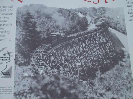
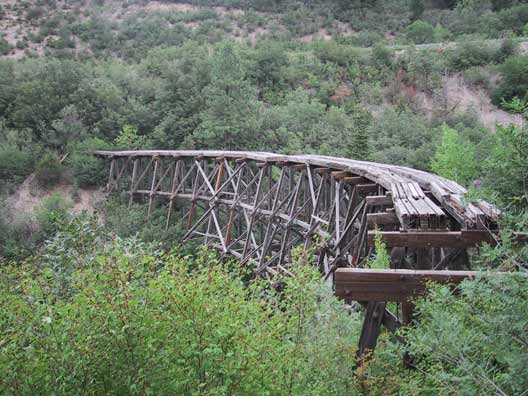
The Cloudcroft railroad, called the "Cloud-Climbing Railroad" is long gone, but the Rails-to-Trails Association has turned the route into hike and bike trails unlike any others I've seen. This was a very steep rail route, with multiple switchbacks and wooden trestles, some of which remain in various states of disrepair. We hiked a few of the trails to practice for our big hike, and it turned out to be quite a workout. Some of the views were gorgeous, and we could see White Sands from the peak.
The town of Cloudcroft is very quaint and Western, with an old lodge that reminded me of the Grand Hotel. Not nearly so grand, but from the same period. There is also a nine-hole golf course there that is the highest in the country.
The drive back to Ruidoso from Cloudcroft was also beatiful, winding through Apache ranches. We could see evidence of a very large forest fire about five years ago.
Monday, July 29
Erica and Ed played golf at Inn of the Mountain Gods. This is a beautiful course at a resort located part of the way up to Apache Summit. And in fact, the resort is on the Mescalero Apache reservation, and owned by the tribe. So of course there is a casino as well. This is the only time I've ever dropped them off to play and wished I played golf, too. It had a great view of the peaks and a nice lake.
After the golfing, we tried another bike ride near the Lincoln National Forest Smokey Bear District Ranger Station. I enjoyed this one, having acclimated to the altitude, but both Ed and Erica continued to struggle. We had talked about doing our high altitude hike tomorrow, but decided we weren't ready yet.
Sunday, July 28
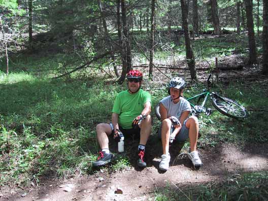
We decided to break in the mountain bikes today. Erica and I stopped in the local bike shop to get trail advice. We decided to take a proclaimed "easy" route. All three of us headed for the trailhead. The trail was only two miles long, but I think we only made it a mile before collapsing in three heaps. A combination of altitude, lack of conditioning, and lingering colds, I guess. Oh, well, we'll try again later in the week.
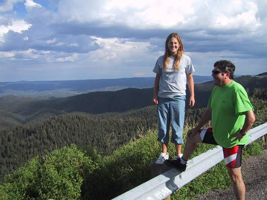
After the ride, we tried an activity we knew we could be successful at: a ride in the car. We set out toward the local ski area, Ski Apache. It turns out the access road for this winds up much of Sierra Blanca, gaining 3,000 feet in elevation and offering beautiful and sometimes harrowing vistas. I can't imagine driving up this road with snow or ice. Chains would definitely be required. At the base of the ski area, we noticed some trailheads. We're considering starting a hike at this point (about 9,600 ft.) to get to as high an altitude as possible.
Saturday, July 27
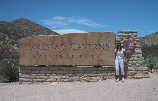
We woke up early to try to beat the crowds to Carlsbad Caverns. The caverns are southwest of town, requiring a drive through a beautiful desert preserve. There were so many unusual plants and formations. The visitor's center was nicely done, and the whole place was non-touristy. There are several options for touring the caverns. We elected to follow two self-guided tours to the main rooms since we hadn't been there before. There are also ranger-guided tours, some of which are more spelunking oriented.
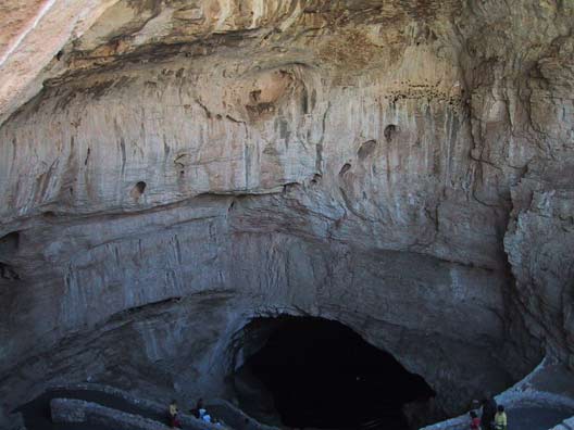
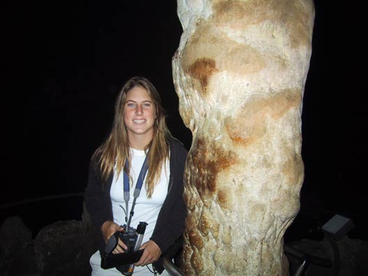
We headed down through the natural mouth of the cave. It was fun to imagine the early settler in the area, Jim White, deciding to explore the cave after noticing how many bats flew out of it at night -- millions! Or at least hundreds of thousands. The cave is partially lighted now; I can't imagine going in with a single lantern. We walked down for over an hour, losing over 750 feet in elevation. Erica had the video camera. She was amazed with the whole thing. Neither she nor Ed had ever been in a cavern before. I remembered Mammoth Cave in Kentucky pretty well. This was similar, but no less awesome for me.
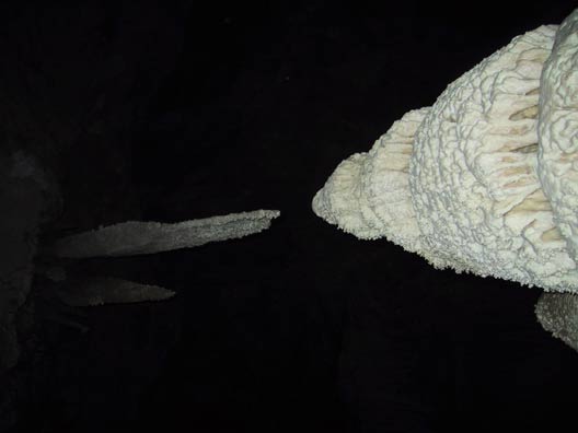
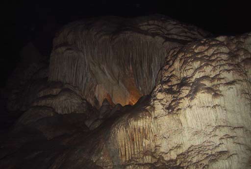
When we reached the bottom of this route, we started the second tour: the Big Room. This is 14 acres of stalactites, stalagmites, columns, draperies, all fancifully named and beautiful. The whole room is lit by a Broadway set lighting expert, and it was nicely done -- not too unnatural. It took 1 1/2 hours to see just this room. Luckily, at the end of this hike, you take an elevator to the top! We learned along the way that before the paths and elevator were built, it took all day to go into the caverns. We spent a few hours and got to see a lot. Erica really enjoyed it, and we decided that we would like to come back and do a more adventurous route where we crawl and climb and wear headlamps.
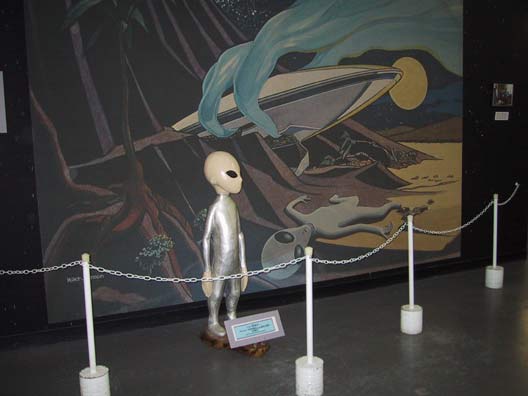
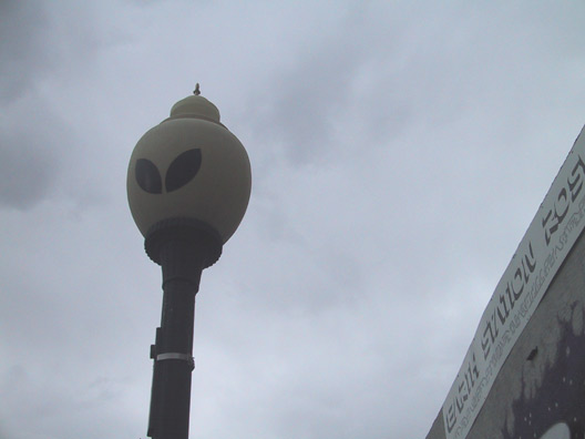
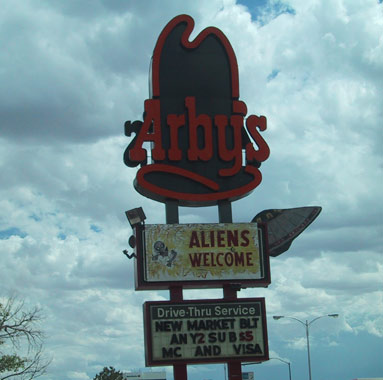
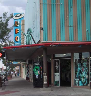
We then continued northward to Roswell, which was the junction with the road to Ruidoso. Since we were passing through, we stopped to gawk at the multitude of aliens everywhere, even the street lights! Virtually every business in Roswell has capitalized on the flying saucer "sightings" in the 40's. We stopped at the delightfully cheesy International UFO Museum and Research Center, but since we are not big sci-fi or conspiracy kooks, we didn't have enough interest to go looking for Area 51, or whatever it's called. We did buy a few junky alien souvenirs, though.
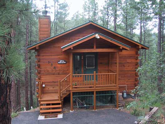
All of our driving since the Hill Country west of San Antonio yesterday had been through pretty stark and scrubby territory until this point, with all signs of habitation looking rather desperate. Erica (and me, too, I'll admit) was a little worried about spending a week in New Mexico. But as we turned west toward Ruidoso, the lushness of the terrain increased with the elevation. By the time we reached the town at 6,900 feet, we were in a beautiful setting of pines and spruces nestled in the Sacramento mountains near Sierra Blanca peak. The town itself is a typical ski town, a little touristy, but nice. Rather than stay in a hotel all week, we rented a log cabin, actually someone's vacation home. We have two bedrooms, two baths, and two decks overlooking woods in the back. Very nice.
Friday, July 26
Yay, vacation begins! We decided to go to New Mexico this summer. Actually, Ed came up with the idea. We almost changed plans, though, when we learned that the National Forest there was closed due to fire danger. Ed called the Ruidoso, NM Chamber of Commerce and learned that July and August are the rainy months, and that the forest usually reopens then, so we decided to risk it. We thought it would be fun to have our mountain bikes with us, so we decided to drive. Even though I just bought a car that would be able to transport all our gear including golf clubs, we didn't want to break it in so quickly, so we rented a minivan. And are we ever glad we did after seeing how hard we were on the van just loading all of our stuff in!
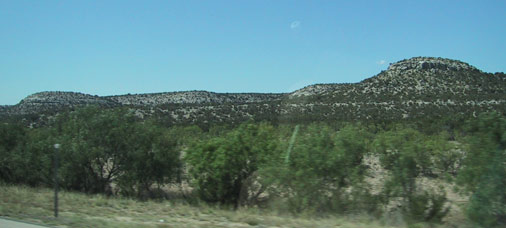
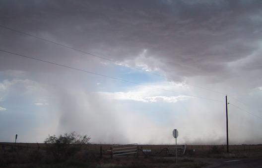
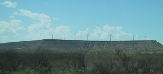
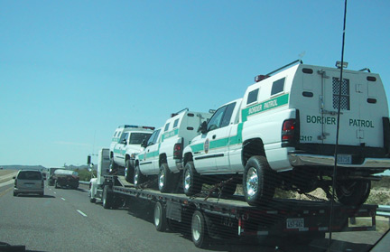
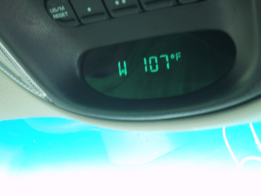
With our final destination being Ruidoso, we set off right through the heart of Texas, taking Interstate 10 through the Hill Country and into the desolation of West Texas. I say desolation, but it was really starkly beautiful, with mesas, caverns, scrub, dust devils, windmills and other typical Texas scenery. We came fairly close to the Mexican border, and weathered temperatures of 105 to 110 °. We also saw some pretty sorry looking old towns, probably built on the promise of oil, but now nearly ghost towns.
We turned north before El Paso and headed for Carlsbad, NM, where we stopped for the night so we could visit the Caverns in the morning.
Thursday, July 25
We leave for New Mexico in the morning. I think we're taking three laptops, so between them I should be able to post something, provided we can connect. If not, I'll at least be able to write something to post when I get home. We're staying in a log cabin. I'm really looking forward to it.
Wednesday, July 24
Everybody should get a laser pointer for their cat(s).
Sunday, July 21
Erica arrived Friday evening. And yesterday I bought a new car! I could spend lots of time writing about it, but Ed already did, so just look here. My favorite part of Ed's post is where he writes that the XTerra is "not the best quaklity".
Tuesday, July 16
Still behind on everything, not just updating this site! We went through a layoff in late June. I had to layoff 3 people. Last week the new IT organization was announced, and I now have 21 people reporting to me, some of whom I've never seen nor spoken to. I am responsible for about 20 applications, with the goal being to consolidate them to just a couple. So I'm busy. Also trying to clean the house before Erica arrives on Friday, finish the little add-on paint job that Ed started without permission, buy a car and eat.
I want to be a secretary now. Or a cat. Or Ed.
Archives